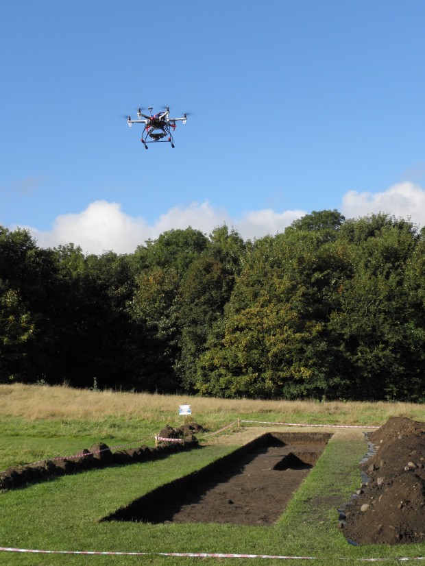
UAV survey of trenches at Quay Meadow, Lancaster – 2015 (c) LDHG
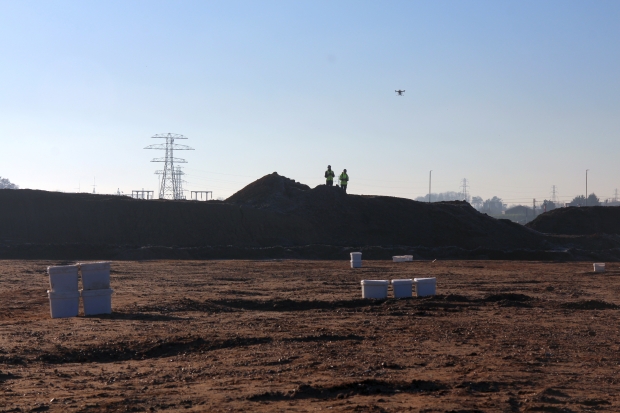
As part of my work at Oxford Archaeology North I’ve recently been practicing (under supervision) flying and surveying with our UAV drones at various archaeological sites in the region. This is in advance of qualifying for a BNUC-S™ pilot qualification to get a Permission for Aerial Work for undertaking commercial projects.
The end of September saw community excavations undertaken at Quay Meadow, in Lancaster. It is located north-west of the Roman fort which is partially extant within Vicarage Fields, and is just below Lancaster Castle. The excavations were undertaken by Lancaster and District Heritage Group in tandem with a wider project aimed at trying to understand the heritage and archaeology of the area which is conducted by Beyond the Castle.
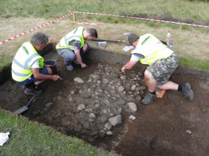
Excavating Roman wall foundations at Quay Meadow – 2015 (c) LDHG
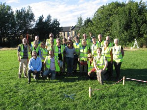
Volunteers from Lancaster and District Heritage Group – Quay Meadow 2015 (c) LDHG
The three excavated trenches were located over interesting anomalies identified in an earlier geophysical survey of Quay Meadow previously undertaken by OANorth. The preliminary results of the excavations suggest evidence for a Roman road heading down towards the original Roman quayside, and what was initially identified as possibly being a post-medieval/modern structure in the geophysics actually turned out to be wall foundations of several Roman buildings found just below the topsoil. There is clearly much much more that Lancaster and District Heritage Group can get their teeth into in future years.
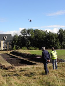
Practicing UAV survey at Quay Meadow, Lancaster – 2015 (c) LDHG
In practice the UAV survey was relatively simple for this site as all we wanted was a general plan view of all of the trenches and detailed post-excavation surveys of each individual trench, which we then created from the photogrammetry in Agisoft PhotoScan. We also created contours of the surrounding topography but this was not as spectacular as earlier results undertaken on the earthworks in Vicarage Fields to the south-east of the site.
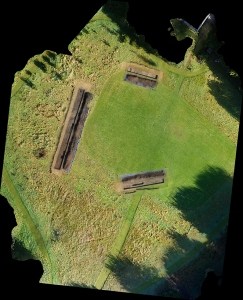
Trenches excavated at Quay Meadow, Lancaster – 2015
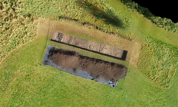
Roman building foundations in Trench 2 at Quay Meadow, Lancaster – 2015
54.053130
-2.806981

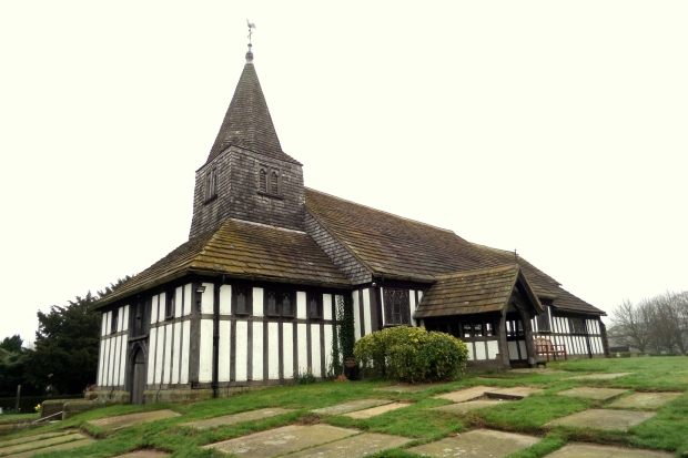
 St James’ and St Paul’s Church, Marton, Cheshire – 2017[/caption
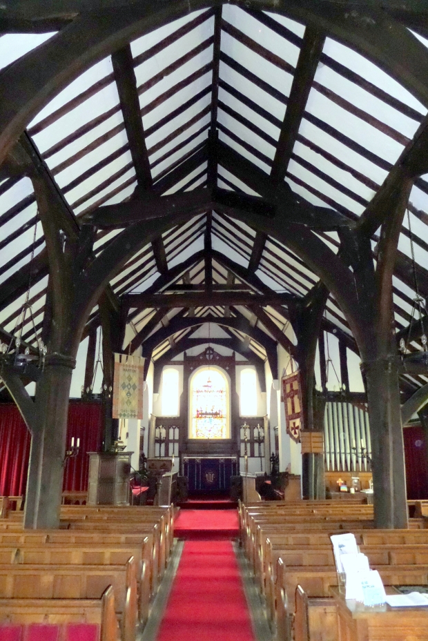